Raa Atoll is the first of the northern atolls that most resort guests encounter far enough from Male to feel meaningfully remote, accessible enough via Ifuru Airport to reach in a manageable total journey time. The map above shows the full atoll, from the southern boundary with Baa Atoll to the northern edge adjacent to Noonu Atoll, with resort positions, the domestic airport, and the inhabited island communities marked across the reef structure.
Ifuru Airport on the Map
Ifuru Airport (IATA: IFU) sits on the eastern edge of Raa Atoll and is the key infrastructure point on the map for planning any Raa Atoll visit. Domestic flights from
Velana International Airport take approximately 30 minutes. A speedboat from Ifuru reaches most resort islands in the atoll in 15 to 45 minutes.
The airport is visible on the map in the eastern section of the atoll. Resorts on the eastern side are closest to Ifuru and have the shortest speedboat connections. Resorts on the western reef edge are further from the airport but face the open ocean for better sunset orientation and more direct exposure to the atoll's western dive sites.
Resort Positions
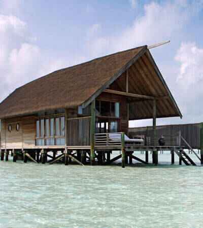
Movenpick Resort Kuredhivaru sits in the central section of the atoll a mid-distance speedboat from Ifuru, positioned on a
private island with good lagoon access on multiple sides.
Dhigali Maldives is in the northern section, with an activity-focused programme and strong all-inclusive options. The position on the map reflects the atoll's wider northern section where boat access to multiple dive sites is practical.
Furaveri Maldives is positioned in the central-northern area with overwater villa categories and a comprehensive all-inclusive option.
Amilla Maldives sits at the Baa-Raa border visible on the southern edge of the Raa Atoll map where it meets
Baa Atoll. The border position gives the resort access to both atoll dive systems.
Resort Positions + Times
| Section | Resort | Speedboat from Ifuru | Key Feature |
|---|
| Central | Movenpick Kuredhivaru | 25-35min | Lagoon access |
| North | Dhigali Maldives | 35-45min | All-inclusive activities |
| Central-North | Furaveri Maldives | 30-40min | Overwater AI |
| South Border | Amilla Maldives | 15-25min | Baa-Raa dive crossover |
Local Islands on the Map
Ungoofaaru the capital of Raa Atoll, visible in the central-western section. Traditional fishing community with a boat-building history. Local market and public ferry connections.
Rasgetheemu a local island known for traditional handicrafts, visible in the northern section of the map.
The inhabited islands of Raa Atoll are distributed across the atoll with more geographic spread than the guesthouse-focused
local islands of the central atolls. Visiting them requires planning around ferry schedules rather than the on-demand speedboat access available from the central atoll resorts.
Understanding Raa Atoll's Position
The map shows Raa Atoll between Baa Atoll to the south and
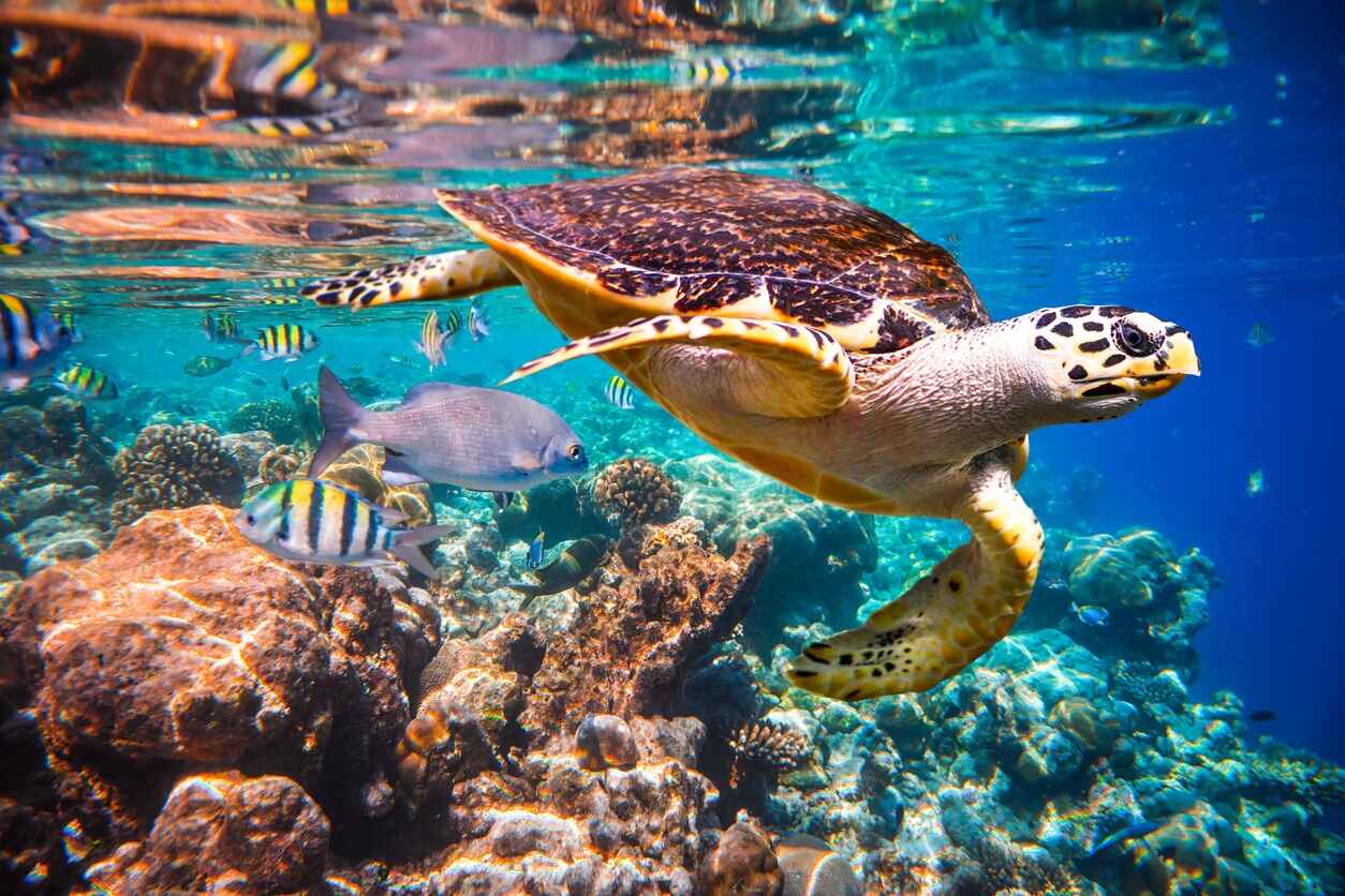
Noonu Atoll to the north. The dry season manta rays that aggregate at Baa Atoll's Hanifaru Bay from May through October move into Raa Atoll waters during the dry season months from November through April. The Raa Atoll map position above Baa explains this migration as Hanifaru Bay activity decreases, the mantas move north into the adjacent atoll system.
Seasonal Shifts Raa Atoll