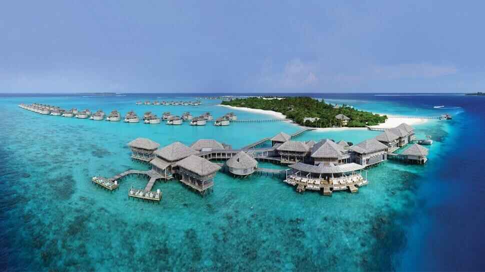
Male is two square kilometres. The entire capital city fits on a map that most cities would use for a single neighbourhood. What it contains within those two square kilometres 200,000 people, the country's main port, government buildings, mosques, markets, hospitals, schools, and the full commercial infrastructure of a functioning national capital makes it one of the most densely packed places on earth.
The map above shows the full city. On a standard screen everything fits with space to spare. The practical implication: Male is entirely walkable. Every site marked on the map is reachable on foot from every other. A visitor who arrives at the main ferry jetty can walk to the Friday Mosque, the National Museum, the fish market, the Grand Friday Mosque, and the main commercial street without taking any form of transport.
Key Landmarks on the Map
The Main Ferry Jetty - the arrival point from the airport island by public ferry or speedboat taxi. Visible on the northern waterfront of the city. This is where most visitors to Male arrive and the logical starting point for any walking route through the city.
Hukuru Miskiy - The Friday Mosque marked in the old quarter of the city, a short walk from the ferry jetty. Built in 1658 from coral limestone. The oldest mosque in the Maldives. The adjacent old cemetery is on the same map point.
The National Museum - near Hukuru Miskiy in the old quarter. The pre-Islamic artifact collection. The renovated colonial building is a small structure on the map the collection inside is more significant than the building size suggests.
The Grand Friday Mosque - Islamic Centre the gold-domed building visible on the map in the western section of the city. The largest mosque in the Maldives, opened 1984. The landmark visible from the airport ferry before anything else in the city comes into view.
The Fish Market - on the waterfront near the main jetty, visible on the northern edge of the map. Best visited before 7am. The tuna trade that defines the Maldivian economy happens at speed on these concrete floors every morning.
Majeedhee Magu - the main commercial street running east-west across the map. The primary shopping artery. Local shops, souvenir stalls, general goods. The best street for finding traditional craft souvenirs at market prices.
The Artificial Beach - on the northern reclaimed waterfront, visible at the top of the map. Public park and beach where local residents gather in the evenings. The most visible public social space in the city.
The Republic Square and Presidential Palace visible near the centre of the map. The formal civic space of the capital.
The Sinamale Bridge visible on the eastern edge of the map where Male connects by ferry crossing to Hulhumale, which in turn connects by road to the airport island.
Key Sites + Distances
| Zone | Site | From Ferry Jetty | Highlight |
|---|
How to Navigate Male
The city grid is roughly rectangular, running east to west with the main roads parallel to the northern and southern waterfront edges. The old quarter where the Friday Mosque and the National Museum are is in the southwestern section of the map. The commercial area is in the centre. The reclaimed waterfront and the Artificial Beach are in the north.
A logical walking route from the ferry jetty: north waterfront east to west, turn south to the old quarter for the mosque and museum, across to Majeedhee Magu for shopping, back to the harbour area for the fish market (if the timing is early morning) or the cafe street for short eats, then north to the Artificial Beach for the late afternoon. The full circuit takes three to four hours at a comfortable pace.
Getting to Male from the Airport
Public ferry from the airport island (Hulhulé) to the Male jetty: approximately 10 minutes. Runs throughout the day and into the early evening. Almost no cost.
Speedboat taxi from the airport: under 10 minutes. Available around the clock. Fixed fare posted at the taxi desks inside the arrival hall.
Road via Sinamale Bridge: the bridge connects
Hulhule to Hulhumale by road. From Hulhumale a ferry crosses to Male. This route is practical for guests with significant luggage or those coming from
hotels in Hulhumale.
Hulhule to Male Options
| Mode | Time | Cost | Best For |
|---|
| Public Ferry | 10min | Near-free | Daytime budget |
| Speedboat Taxi | <10min | Fixed ~$3 | 24/7 convenience |
| Sinamalé Bridge Road | 20-30min | Bus/taxi $1-2 | Hulhumalé luggage link |
What Is Not on the Map
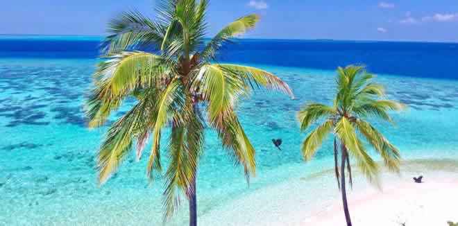
Male has no beaches. No large parks. No shopping malls in the conventional sense. No resort facilities of any kind. The map shows a working city a capital that exists for its residents and its government rather than for its visitors.
This is the most honest thing the map communicates: Male is not a
tourist destination in the standard sense. It is the actual daily life of the Maldives in concentrated urban form. The fish market, the cafés, the mosques, the streets these are not attractions staged for visitors. They are a city going about its business. The value of visiting is in observing that reality, not in checking off attractions.